
Guest Author: Tyler Padera
Have you ever been asked to hang out with a new friend, but maybe you didn’t know where they lived? Maybe you were going to an interview for your new job but needed directions. The solution to both of these problems is using a GPS system. We are very fortunate to be able to input an address and be given step by step directions to our destination. One rainy afternoon I began thinking about this and asked myself, “What was the world like before GPS? How did people navigate?” I began to think about how we can easily make it to the other side of the city, but how we now can make it across to the other side of the world. How did people navigate the sea without any technology? Thankfully George Christoph (view his talk https://youtu.be/AGCUm_jWtt4) and others give us somewhat of an insight on how ships were sailed way back when.
When sailors are sailing ships the vessels can be thrown 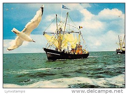 off course very easily whether it was a human error, change in current, or a nasty storm. The slightest miscue could potentially cause the sailors to miss their destination. Since there was ambiguity in whether or not the ship was on the right course the sailors came up with an idea that would help them know if land was near. In the early days of sailing the Vikings would release a bird to fly above the ship. If the bird flew up above the ship and circled randomly then there wasn’t any land near. If the bird flew with a purpose away from the ship then the ship would follow in hopes of the bird finding land.
Sailing with the help of birds was a creative idea, but didn’t always lead to the results that sailors wanted. Another idea was discovered that included more mathematical reasoning. If the sailors knew the speed of the boat, then they would be able to figure out how far away they were form their port, which would give them their location at sea. The sailors would count the number of seconds that it took for a piece of rubbish in the water to get from the front of the vessel to the rear. They took the length of the boat and divided it by the time to get an estimation for their speed. This technique was clever, but proved to be too unreliable when attempting to navigate an ocean.
If sailors knew the longitude and latitude of their ship then they would know their location at sea which would greatly improve their chances of landing where they desire. Latitude wasn’t very difficult for sailors to determine. All that was needed was a compass, a calendar, and how high the sun should be at noon. However, what was more complicated was determining the longitude of the ship. The way that sailors determined the longitude included the sun and an accurate clock. The sun was important because of the rotation it appears to make in the sky. The earth rotates and makes it appear that the sun is making a 360 degree rotation around the earth. This means that each hour the sun would move fifteen degrees. Every four minutes is would move one degree. Every one minute it moves 15 arc degrees and so on. This information can be used if you have an accurate clock set to Greenwich mean time. For example, if the GMT time was 18:00 and the local time was 10:00 then you have a difference of minus eight hours, which means your angle measure would be fifteen times eight which equals 120 degrees. This means you are 120 degrees west. These calculations would prove to be very helpful for sailors who were navigating the sea. The only problem was the fact that the clocks only kept 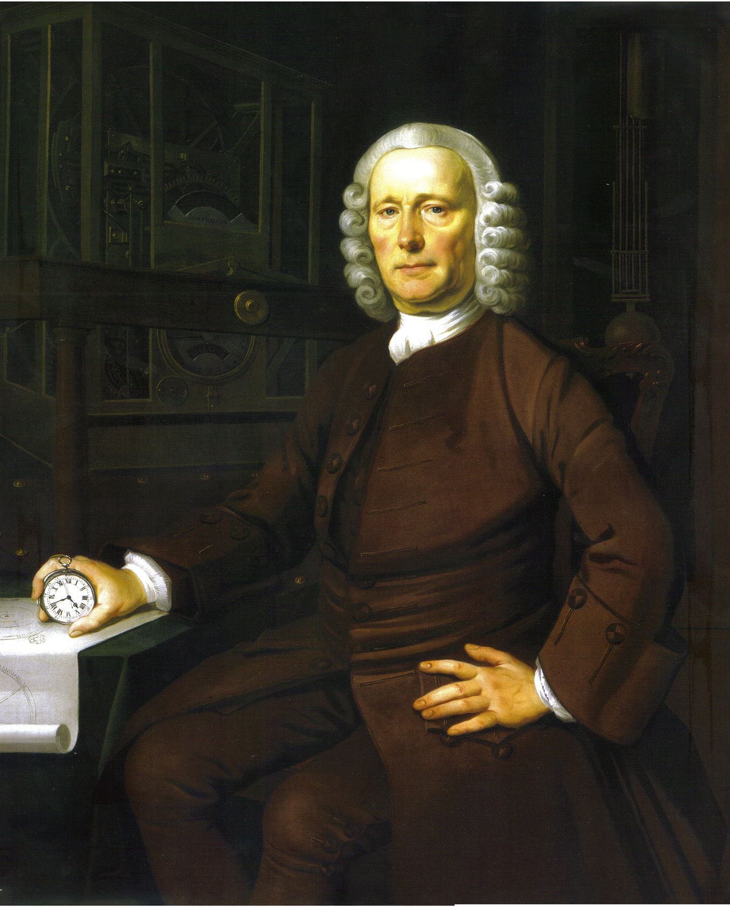 accurate time while on land. The movement, temperature difference, and humidity all disrupted the clocks while at sea. It wasn’t until 1775 when a man named Larcum Kendall made a clock based off the clocks made by John Harrison. The clock was taken on a three year voyage and they found that the clock had kept accurate time and only had an error of about eight seconds per day.
What the sailors were doing in the late 1700s and beyond is what we call using a GPS system. What is amazing is that our technology has developed over time to the point where it is taking the sailors from ships and keeping them on land while the ship takes its course. Technology is being created that would allow an unmanned ship to sail across the ocean to the proper destination by remote control and a GPS location. The technology is said to be a handful of years away from being put into action, but would be an amazing feat if this unmanned ship could actually sail across the ocean with no problems. The technology and systems that were created have been expanded upon to great lengths.
Works Cited:
How Did Early Sailors Navigate the Oceans? YouTube. N.p., n.d. Web. 23 Apr. 2016. <https://www.youtube.com/watch?v=4DlNhbkPiYY>.
How does math guide our ships at sea? By George Christoph. YouTube. N.p., n.d. Web. 23 Apr. 2016. <https://www.youtube.com/watch?v=AGCUm_jWtt4>.
Mahoney, Donna. “Underwriters get ready for crewless ships.” Business Insurance 15 Feb. 2016: 4. Wilson OmniFile Full Text Select Edition. Web. 4 Apr. 2016.
“Unmanned Ship Technology.” Business Insurance 15 Feb. 2016: 27. Wilson OmniFile Full Text Select Edition. Web. 4 Apr. 2016.
Ship with bird link- Included in the photo.
Clock link- http://yeoldecybershoppe.com/malahide/uncategorized/patrick-malahide-john-harrison/
how did people navigate the sea without any technology ?